RG4 – Modelling and Planning Systems is a multidisciplinary research group, developing theoretical and applied research to improve decision support and policy making solutions, through the combination of theoretical and empirical principles with the intensive use of technologies, comprising acquisition, managing, modelling, analysis and representation of georeferenced data, including Geographic Information Systems (GIS) and Remote Sensing.
Main thematic research areas are: Spatial Planning; Geographic Modelling, Spatial Analysis and Simulation; Geodemographics and Geomarketing; Urban Remote Sensing; 3D visualisation; GIS and Society.
Geodemographics, GIS and Society, Multiscale Spatial Planning, Geographic Modelling, Remote Sensing and Data Infrastructures,
Coordenador
Integrated Researchers

Dulce Pimentel
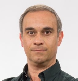
Jorge Ferreira

Teresa Santos
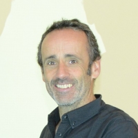
Rui Pedro Julião

Raquel de Deus
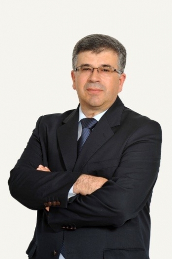
José Afonso Teixeira
Carlos Pereira da Silva
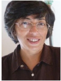
Margarida Pereira
PhD Students

Rossano Figueiredo

Roberto Machado

Carlos Filipe Guerreiro Álvaro

André Daniel Silva Trindade

Rui Manuel Pires Dias

Angelita Silveira

Alexandra Mota


